The Mountain Track up Ben Nevis
The track up Ben Nevis commonly referred to as the 'Tourist Route,' the 'Tourist Track' or the 'Pony Track' is in fact the old access route to the now ruined Observatory and was designed as a rough bridle path for ponies.
It was properly designated as the 'Mountain Track' around 2004 in order to move away from what was considered the misleading title of 'Tourist Route' as it was felt that the latter persuaded the unwary that the route to the top of the mountain with what is arguably the fiercest mountain weather conditions in the Scotland, is a relatively simple walk suitable for a spur of the moment ascent by unprepared visitors.
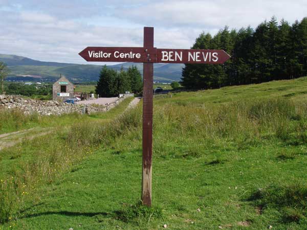
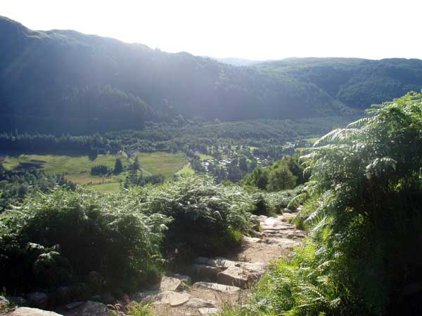
The Mountain Track to the summit (also known as the Ben Path, the Pony Track or the Tourist Route) remains the simplest and most popular route of ascent. It begins at Achintee on the east side of Glen Nevis about 2 km (1.5 miles) from Fort William town centre, at around 20 metres above sea level.
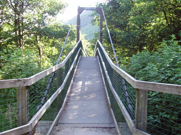
Although it wasn't always the case bridges from the Visitor Centre and the youth hostel now allow access from the west side of Glen Nevis and therefore many visitors these days choose to join the Mountain track from the Glen Nevis Visitor Center car park on the other side of the River Nevis where it can be easily accessed by using the footbridge and following the footpath for a short distance where it then joins the Mountain Track itself.
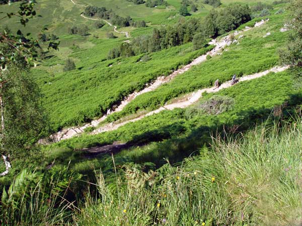
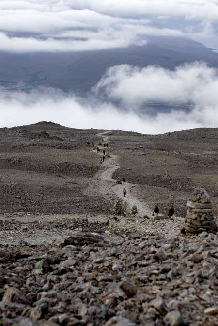
The track climbs steeply via several small zig-zags to the saddle by Lochan Meall an t-Suidhe (known as the halfway lochan) at 570m, then ascends the remaining 700 metres up the stony west flank of Ben Nevis in a series of larger, but less steep, zig-zags that criss-cross the face of the mountain's western side.
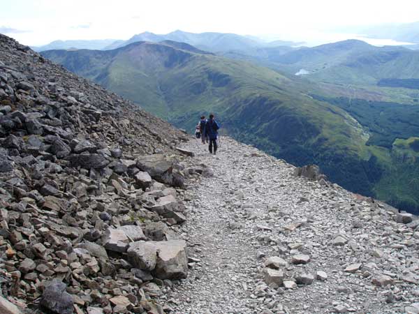
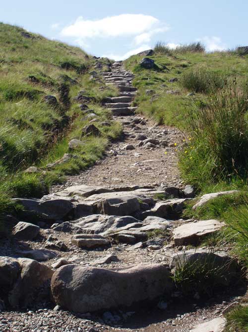
It is well-made and maintained throughout its length, and, thanks to the zig-zags, not unusually steep apart from in the initial stages, with a gradient of not more than 1 in 5 thanks to its initial purpose of construction as a path for ponies to supply the observatory.