Summit of Ben Nevis
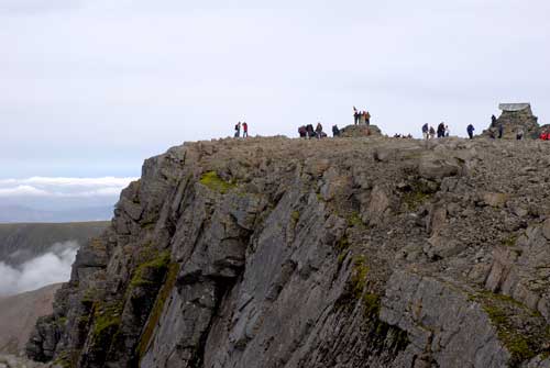
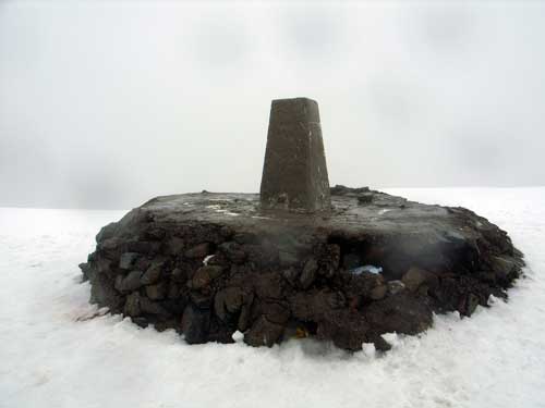
The summit of Ben Nevis, the product of a long extinct volcano, comprises a large stony plateau of about 100 acres. The highest point is marked with a large, solidly built cairn approximately 10 feet high on which sits the Ordnance Survey trig point, the key feature for navigating off the summit in poor weather.
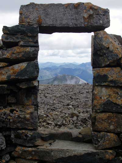
To the North of the plateau lies the world famous North face of Ben Nevis while to the immediate North East lies the mountain of Carn Mor Dearg connected to The Ben by the spectacular Carn Mor Dearg Arete, with the Aonach Mor range the next set of mountains approx. 2 miles away.
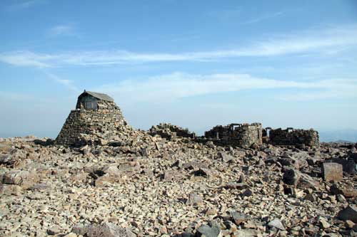
The ruined walls of the 1893 observatory are a prominent feature on the summit and are a particularly unusual feature to exist on any Scottish mountain due to the harsh conditions throughout most of the year.
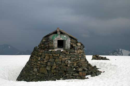
A small, emergency shelter sits on top of the old observatory tower for the benefit of those caught out unexpectedly by bad weather, however, it should never be relied upon as a 'stop-over point,' indeed, two high-altitude shelters were removed from the Cairngorm plateau after a 1972 tragedy when six teenagers died in the snow after failing to reach them. The shelter on Ben Nevis' neighbouring summit, Carn Dearg, was removed in 2004 as 'the shelter is often buried in snow in winter and is frequently difficult to locate and enter; valuable time and energy may be spent looking for it in circumstances where it would be better to descend to safety.'
There are no plans to remove the emergency shelter on the observatory tower.
Although the base of the tower is slightly lower than the true summit of the mountain, the roof of the shelter overtops the trig point by several feet.
Did you know? The shelter on the old observatory tower is the highest man-made structure in the UK